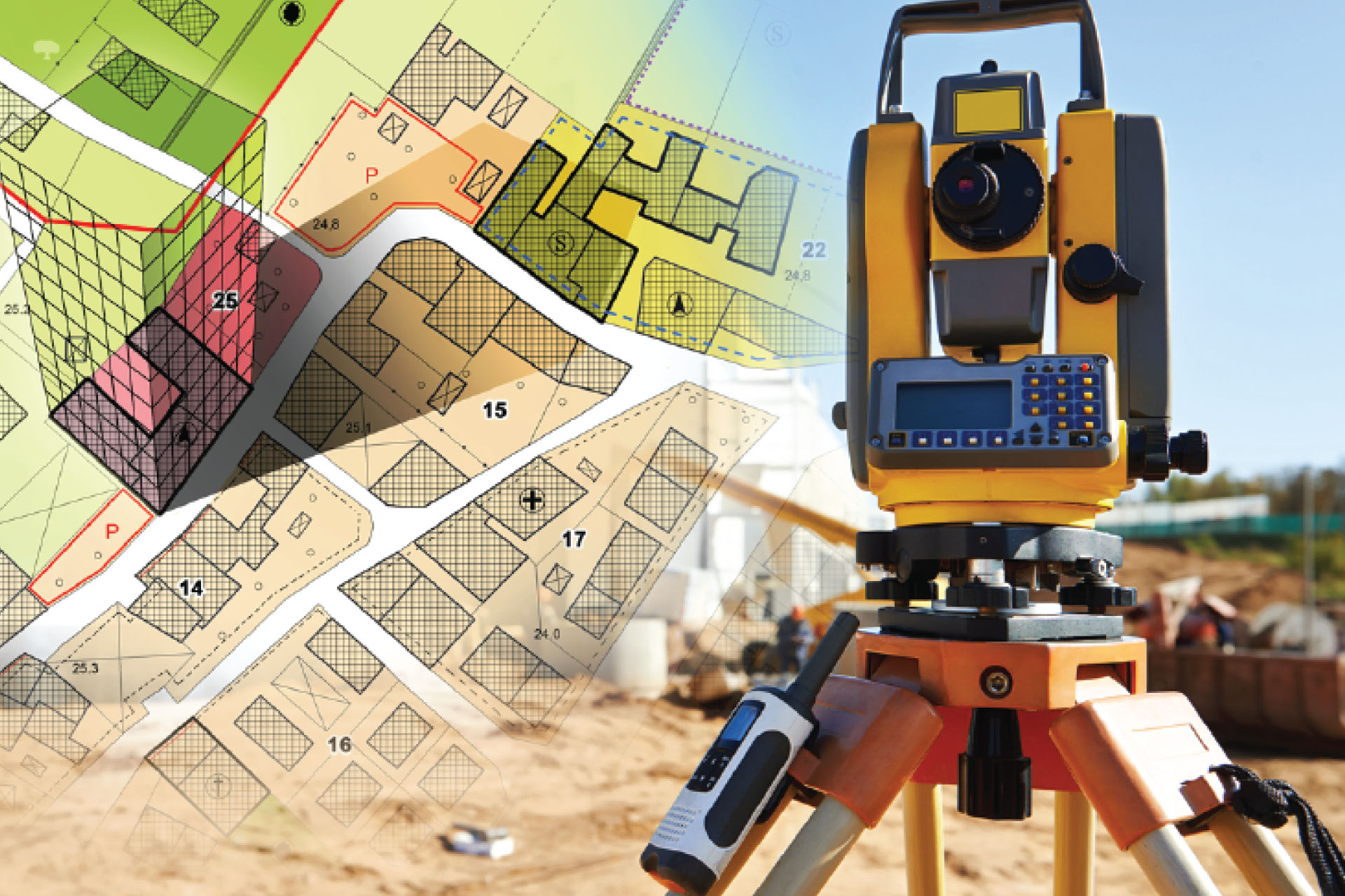
Cadastral Survey Department
- Land Title Survey
- Strata Title Survey
- Stratum Survey & Spatium Survey
- Land Acquisition Survey
- Survey of Land for Mining
- Conceptual Design & Township Planning
- Land/Facility Management & Administration
- Land Development Consultancy & Training
- 3D Cadaster, Smart Cadaster & Smart City
Geomatics & Mapping Department
- GIS System Development, Software Integration & Geo-spatial Solutions
- Topographic Survey & Mapping
- Engineering & Construction Survey
- GNSS (GPS) Control Survey
- Deformation Monitoring & Dilapidation Survey
- Hydrographic Survey, Coastal Navigation & Offshore Positioning
- Underground Utilities Detection Survey & Mapping
- Air-Bourne (Drone/Lidar) Survey & Aerial Mapping
- Remote Sensing & Satellite Imagery Analysis
- 3D Laser Scanning, Point Clouds Modelling & Scan to BIM
- Indoor Positioning & Mapping
- Digitisation & Geodata Management